Florida Feels Hurricane Milton’s Outer Bands: Last Call for Evacuations
Hurricane Milton, a strong Category 4 storm, is set to make landfall on Florida’s Central Gulf Coast overnight on Wednesday. Although the storm may weaken slightly, it is still expected to be a major hurricane, potentially one of the most destructive to hit the area. The exact spot where Milton will come ashore is not certain and could change, affecting where the most dangerous storm surge will occur, especially in the Tampa Bay area.
Milton Grows in Size
While the storm is predicted to weaken, it is growing larger, which means its damage could spread over a wider area. In the past 24 hours, the storm’s tropical-force winds have expanded from 105 miles to 125 miles from the center. By the time it hits Florida, tropical-storm-force winds will cover a huge portion of the state. This means people across Florida, even far from the coast, will feel Milton’s effects, including strong winds and heavy rain.
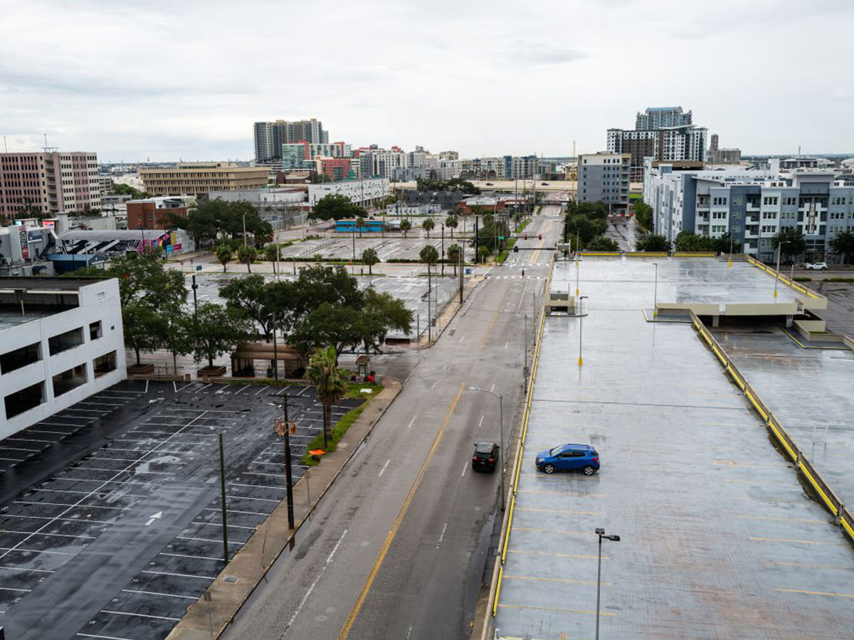
Time Is Running Out to Evacuate
Florida officials are urging residents to evacuate before the worst of the storm hits. They have described it as the “11th hour” to leave. Milton’s outer bands have already reached Florida, and stronger winds and rain will arrive by the afternoon. People in evacuation zones are being told to leave immediately to avoid being trapped by flooding or storm surge.

Tornado Threat
Milton’s outer rainbands have already caused at least one tornado in South Florida. This tornado was spotted near the Big Cypress Seminole Reservation, and more tornadoes are possible throughout the day. The National Weather Service has issued a tornado watch for over 12 million people in Florida. Tornadoes caused by hurricanes can be deadly, especially for those without proper shelter.
How Much Larger Will Milton Get?
Milton’s powerful winds have grown in size and will continue to expand as it approaches land. Currently, the tropical storm-force winds stretch 125 miles from its center, and by the time it makes landfall, this will increase even more to cover a large part of the Florida peninsula. After it moves inland, the wind field could grow to 280 miles wide, affecting areas far from the coast. This widespread wind could cause major power outages throughout the state.
Flooding in Key West
Milton’s outer bands have already drenched popular tourist spots like the Southernmost Point Buoy in Key West. Strong waves from the storm were seen crashing over tourists taking photos at the landmark, showing how far-reaching the storm’s impact is, even hours before its landfall.

Evacuation Orders in Pinellas County
Pinellas County officials issued a serious warning for those in evacuation zones A, B, and C, as well as residents in mobile homes: “Get out now. This is your last chance to evacuate before the storm.” Deadly storm surge is expected, and the area could see up to 12 feet of water above ground level in flood-prone areas.
What to Expect When Milton Makes Landfall
As of Tuesday morning, the storm is expected to make landfall south of the Tampa Bay area, closer to Sarasota, late Wednesday night. This shift might spare Tampa from the worst-case scenario, but the storm is still extremely dangerous. While it weakens, its size is increasing, meaning many more people will be affected.
Tropical storm-force winds are expected to hit much of the state by midday Wednesday. Hurricane conditions could develop in some areas by the evening. Florida’s entire peninsula will likely experience strong winds and heavy rainfall. Areas closest to Milton’s landfall could see up to 15 inches of rain and storm surges of 12 feet or more.
What Officials Are Saying
Emergency responders in Tampa are wrapping up their storm preparations. Tampa Fire Rescue Chief Barbara Tripp warned that once the winds become too strong, emergency services will not be able to respond to calls for help. She urged people to evacuate while they still can, particularly those with medical conditions. The city’s main hospital, Tampa General, has set up storm barriers and is ready to handle the storm’s impact.
City-by-City Impact Timeline
Here’s a breakdown of when and how hard Milton will hit different parts of Florida:
-
Tampa:The worst conditions will occur between Wednesday night and Thursday morning, with winds up to 115 mph and rain totaling 10-15 inches. Storm surges could reach 8-12 feet in flood-prone areas.
-
Sarasota: Expect peak winds up to 140 mph Wednesday night and 6-8 inches of rain. Storm surges could be as high as 10-15 feet.
-
Orlando: Orlando will experience peak winds of up to 100 mph on Thursday morning, with rainfall between 10-15 inches.
-
Fort Myers: Wind gusts will reach 55 mph, and up to 4 inches of rain could fall. Storm surges of 8-12 feet are expected between late Wednesday and early Thursday.